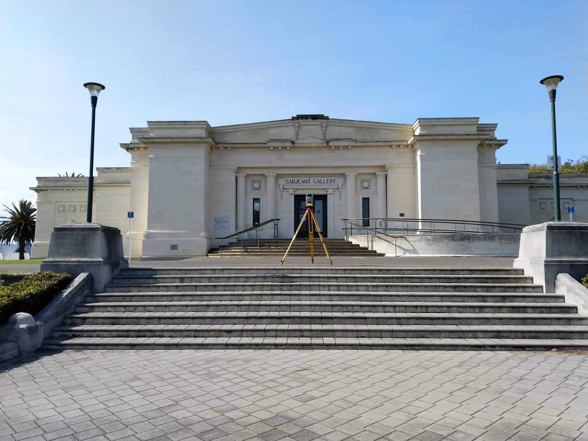
A & C Surveys Ltd were formed in 1999 and specialise in providing quality engineering and cadastral surveys.
Skilled in all aspects of engineering and technical surveying, A & C Surveys Ltd have developed a strong client base, which includes private individuals, corporate, Government agencies and consulting groups, providing technical and professional surveying services in many significant civil and cadastral projects throughout the Whanganui, Manawatu, Taranaki, Rangitikei, Ruapehu, Horowhenua and Kapiti Regions.
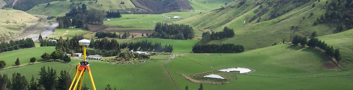
Surveying is a discipline that depends on techniques and procedures to ensure accuracy of field measurements. A&C Surveys Ltd have a commitment to ensure staff work in a safe environment and encourage their ongoing professional development to ensure all staff are working at a high level of competency. To this extent our staff are actively encouraged to pursue recognised surveying training and qualifications.Key Personnel:
Steven Archer : Licensed Cadastral Surveyor / Director

T: +64 6 347 8586 E: This email address is being protected from spambots. You need JavaScript enabled to view it. Licensed Cadastral Surveyor (1994), BSurv (1990), Member of Survey and Spatial NZ
Steven has worked within the survey profession since 1976 and obtained Registration status in 1994. He has an analytical approach to tasks which, combined with his years of experience, provides a solid base for producing quality results for all types of cadastral surveys, resource consents, engineering surveys, and GIS projects. In recent years he has completed continuing professional development courses in teamwork, communications, professional development, and health & safety issues. Steven has a working knowledge with a wide variety of software and operating systems. He is fully trained in 12D Model, Trimble Geomatics Office, SDRmap, ArcInfo/ArcMap, AutoCAD LT and is very familiar with Office software for reporting, spreadsheets and small database management.
Scott Cade : Civil Surveyor / Director
 T: +64 21 664 572 / +64 6 348 4843 E: This email address is being protected from spambots. You need JavaScript enabled to view it. NZ Diploma Surveying (2016), NZTA L1 Site Traffic Management Supervisor (2010)
Scott has worked within the survey profession for over 25 years and for a majority of that time has specialised in engineering surveys. He has an excellent working knowledge of the practical issues involved in data collection and set out for engineering work, and is dedicated in providing a solution for the client establishing himself as one of the best engineering surveyors around. Scott has a National Diploma in Surveying, has had training in the use of GPS for survey accurate work and is well versed in the use of various types of survey instrumentation. He is highly competent in the use of SDRmap, Trimble Geomatics Office, AutoCAD, Microsoft Access, Word and Excel and is able to export survey data in a variety of standard formats. With ConstructSafe, SiteWise and PREQUAL/Tokita Alternate certification, to ensure compliance with legislative requirements and current industry standards, Scott is actively proficient with Health and Safety practices. He is trained as a NZTA L1 Site Traffic Management Supervisor and completes regular site inductions and toolbox meetings with clients to evaluate and review procedures ensuring a safe and healthy working environment.
Jack Cade : Licensed Cadastral Surveyor
 T: +64 27 871 0954 / +64 6 348 4843 E: This email address is being protected from spambots. You need JavaScript enabled to view it. BSurv with Distintion (2022), NZ Diploma Surveying (2019), NZTA Inspector
- Recently returning to Whanganui to work with the company, having studied and gaining hands-on experience and knowledge at a leading Dunedin surveying firm, Jack contributes valuable skills and a fresh disposition to both the land development and engineering sides of A&C Surveys. Graduating with Distinction from Otago University in 2022 with a Bachelor of Surveying, Jack became a licensed cadastral surveyor in 2025. He is highly proficient with a range of surveying equipment and software, and is involved with a wide range of projects from large scale developments to setting out boundaries for a fence.
Tim Archer : Technical Surveyor / UAV Pilot
 T: +64 21 802 432 / +64 6 347 8586 E: This email address is being protected from spambots. You need JavaScript enabled to view it. NZ Diploma Surveying (2015), School of Aviation RPAS Certification (2018)
Tim has been working as a technical surveyor for over 18 years. He has a National Diploma in Surveying, and is a trained UAV pilot - earning his RPAS Wings from Massey University. Tim has an interest in aerial photography and is skilled at using Agisoft software to convert his photos into 3D topographic models or plans. Tim has been trained as a Site Traffic Controller and offers an enthusiastic approach to each task he is working on.
Client Relationships
Our staff endeavour to maintain good relationships with our clients by providing a high standard of work and regular communication. This may be face to face on site, by telephone, or email. Communications in surveying projects tend to be initiated by milestones and outcomes. Over time we have developed working relationships with associated businesses which can provide road and civil design, aerial photography, and other forms of GPS data capture.