If you're wanting to Subdivide, locate Pegs or Boundaries then contact us...
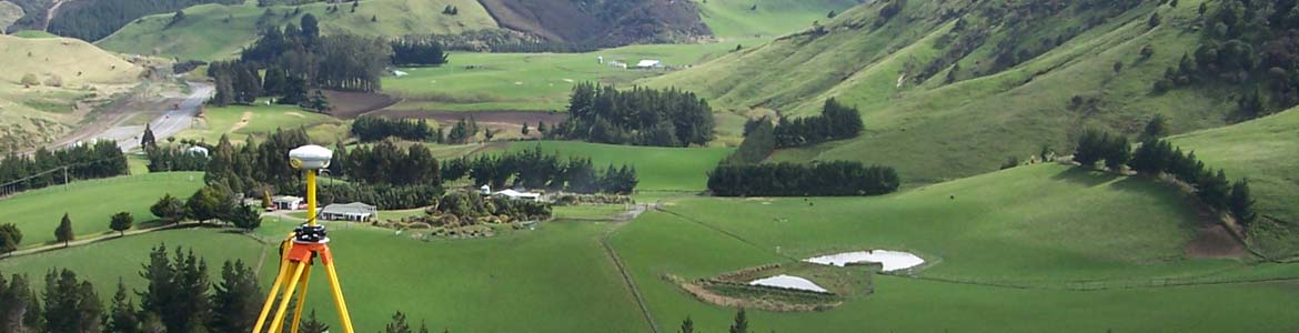
For the subdivision process, we begin by preparing and submitting the resource consent application. Once consent is granted, we proceed with the land transfer survey, which involves both office and fieldwork. In the office, we define the boundaries and determine their positions based on existing data. We then conduct fieldwork to physically mark the boundaries on-site. Finally, we prepare the title and survey plans, which are submitted for council certification and subsequently lodged with Land Information New Zealand (LINZ).
Urban Subdivision: refers to the division of land within a city or town into smaller parcels for residential, commercial, or mixed-use development. This process typically involves the creation of multiple titles from a single property, allowing for more efficient land use in urban environments.
Rural Subdivision: involves the division of land in rural or agricultural areas, often with larger lot sizes. The goal is to create new lots while considering factors such as access, environmental impact, and the preservation of productive land. Rural subdivisions may require special planning approvals based on the area's zoning and land use policies.
Greenfields: is the development of previously undeveloped land into new lots, often for urban expansion. This type of subdivision involves significant planning for infrastructure such as roads, utilities, and drainage. Greenfields subdivisions are typically part of a broader urban growth strategy.
Boundary Adjustments: allow property owners to alter the existing boundaries between their land and neighbouring properties without creating new lots. This process is often used to resolve issues such as encroachments or to improve access to a property.
Unit Title: is a type of subdivision used for developments with multiple units that share common areas, such as apartment buildings or townhouse complexes. Unit titles provide clear ownership structures where Each unit is given a legal title, while the common areas are jointly owned. We guide clients through the complexities of unit titling, ensuring that each unit is accurately defined and that common areas are appropriately managed, enhancing property value and marketability.
s224c Certification: This is the final stage in the subdivision process, ensuring all subdivision conditions are met for the issuance of new titles. Our team ensures that all required infrastructure is in place and the land is properly surveyed before applying for the certification. We coordinate with local authorities, prepare and provide compliance documentation, before applying for the certification, which is necessary for the new titles to be issued.
Legalisation surveys: Legalisation surveys are conducted to create or stop public roads, often for the benefit of local authorities or private property owners. These surveys are crucial for defining new road boundaries or for closing and realigning existing roads. They ensure that the legal process is followed, with the necessary documentation and plans created to support the establishment or cessation of roads. In some cases, private property owners may commission these surveys if they seek to acquire a section of road for their property, often as part of a land development project or access improvement. These surveys require careful attention to legal and regulatory requirements to ensure compliance with local government policies and procedures.